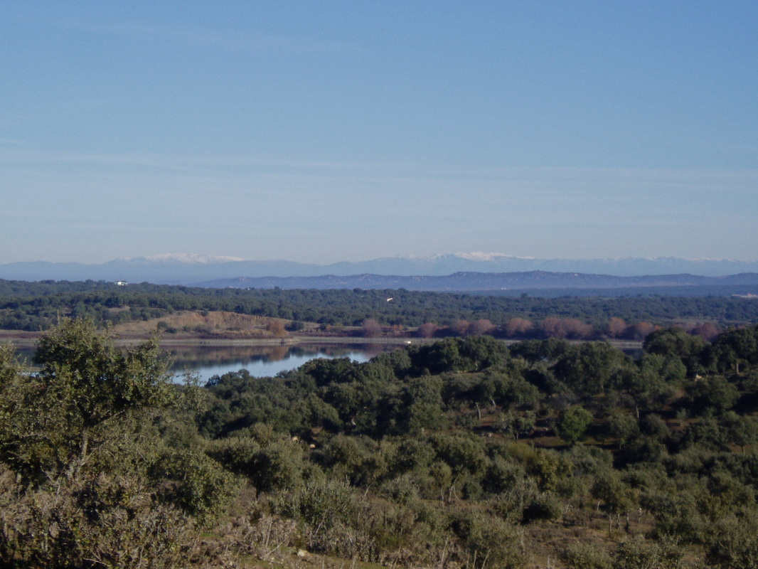
Glimpse of the reservoir with the Sierra de Gredos in the distance
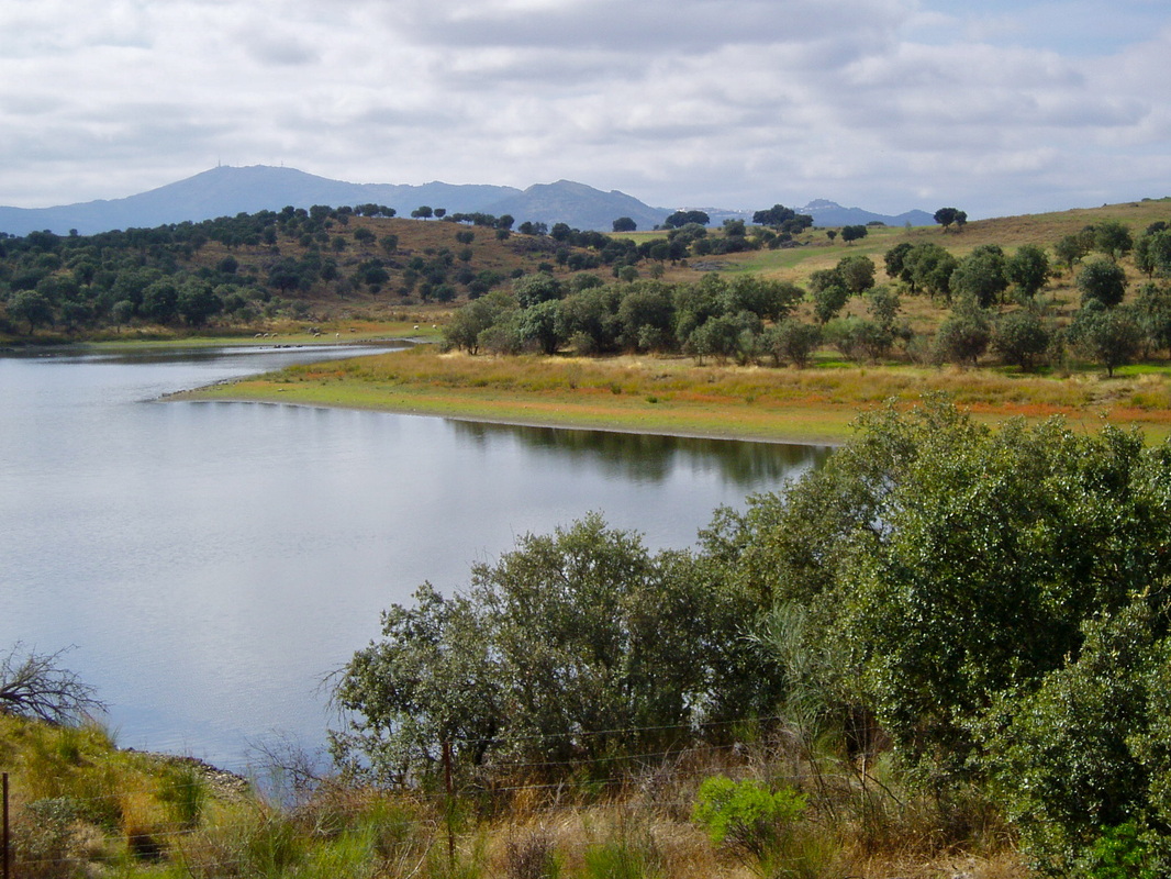
Walking around the reservoir with the Sierra de Montánchez in the distance
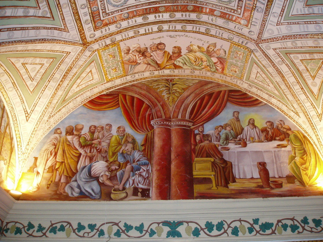
Part of the Benquerencia Hermitage walls and ceiling
|
The Reservoir of Prado
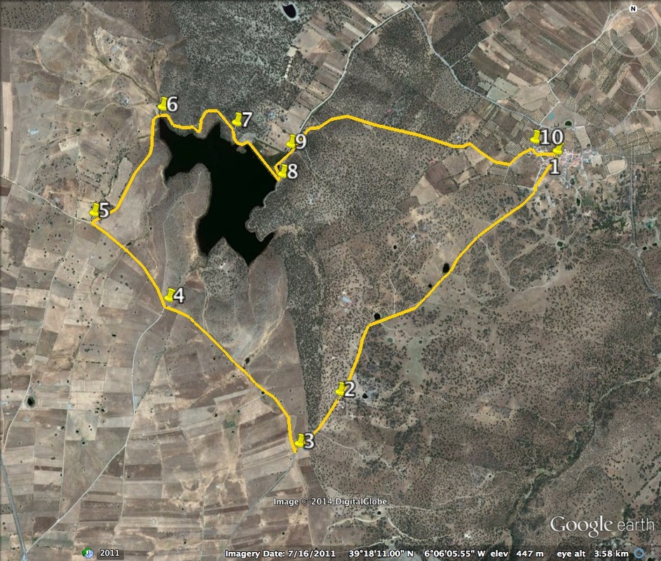
Information This route is undemanding and can be enjoyed by almost everyone of any age. It has fantastic views of the far-off Sierra de Gredos for the first part of the walk. The large lake, the Emblase del Prado, to give it the Spanish name, is a feature of the middle part of the walk. Here it is rewarding to spend time bird-spotting. At the end, in the village of Benquerencia, it’s possible to ask for the key to view the wall paintings in the Ermita (Hermitage) in the centre of the village. Start: Benquerencia Finish: Benquerencia Time: 2 - 3 hours Distance: 8.75 kilometres Elevation: lowest 435m, highest 471m Difficulty: very low Route: circular — map by Google Directions Start from outside the church in the square in the tiny village of Benquerencia. 1. N39º 18’ 33.7” W06º 05’ 04.1” Walk south-westerly in the direction of Valdefuentes. The lane is tarmac and passes through areas of fincas, holm oaks, meadows and grazing animals. After 2km pass a camp site on the left. 2. N39º 17’ 46.4” W 06º 06’ 03.7” Continue past some large agricultural buildings painted blue, also left. As the lane dips down, turn sharp right at the first junction to walk along a wide track. 3. N39º 17’ 36.8” W06º 06’ 14.6” Follow this track with gentle ups and downs but nothing strenuous. On the right are glimpses of the reservoir of Prado and behind it, in the distance the Sierra de Gredos over 100 km away (photo 1). 4. N 39º 18’ 07.4” W06º 06’ 49.5” Continue on the track until there is a choice of two tracks on the right.Take the right hand track, passing over the cattle grid. 5. N 39º 18’ 22.8” W06º 07’ 07.8” Walk along a smaller track and head downwards towards the reservoir. The area is one of farming with pasture, scrubland and trees. Turn sharply right to follow the track around the water watching for birds. 6. N39º 18’ 44.1” W06º 06’ 51.0” The track winds gently through bushes and trees giving glimpses of the water. In the distance, on the right can be seen the Sierra de Montánchez and the town with its castle on the top (photo 2). 7. N 39º 18’ 40.6” W06º 06’ 30.6” At the edge of the reservoir, cross over the straight road on the top of the old dam. Once over the dam turn sharply left and walk down to leave all sight of the water behind. 8. N39º 18’ 31.0” W06º 06’ 18.8” The lane climbs up gently. The area continues to be farmland — prepare for livestock including a goatherd with a fine herd of goats. 9. N39º 18’ 34.7” W06º 06’ 18.6” The lane continues in the direction of Benquerencia. Through the trees that line the lane there are occasional glimpses of the Gredos mountains on the left. Look for flowers in Spring. Continue and walk into Benquerencia making the way to the easily spotted hermitage — not the church, the hermitage. Ask around the local people for the key holder to see inside. 10. N39º 18’ 36.8” W06º 05’ 10.2” Once inside the hermitage it is easy to understand why it is flagged up as one of the places to see while in the area. Every square centimetre of the walls and roof are covered in paintings and decoration (photo 3). It is most impressive especially when you consider that there are only about 50 inhabitants in the village. Return to the square and the start. Photos: March, April and October |