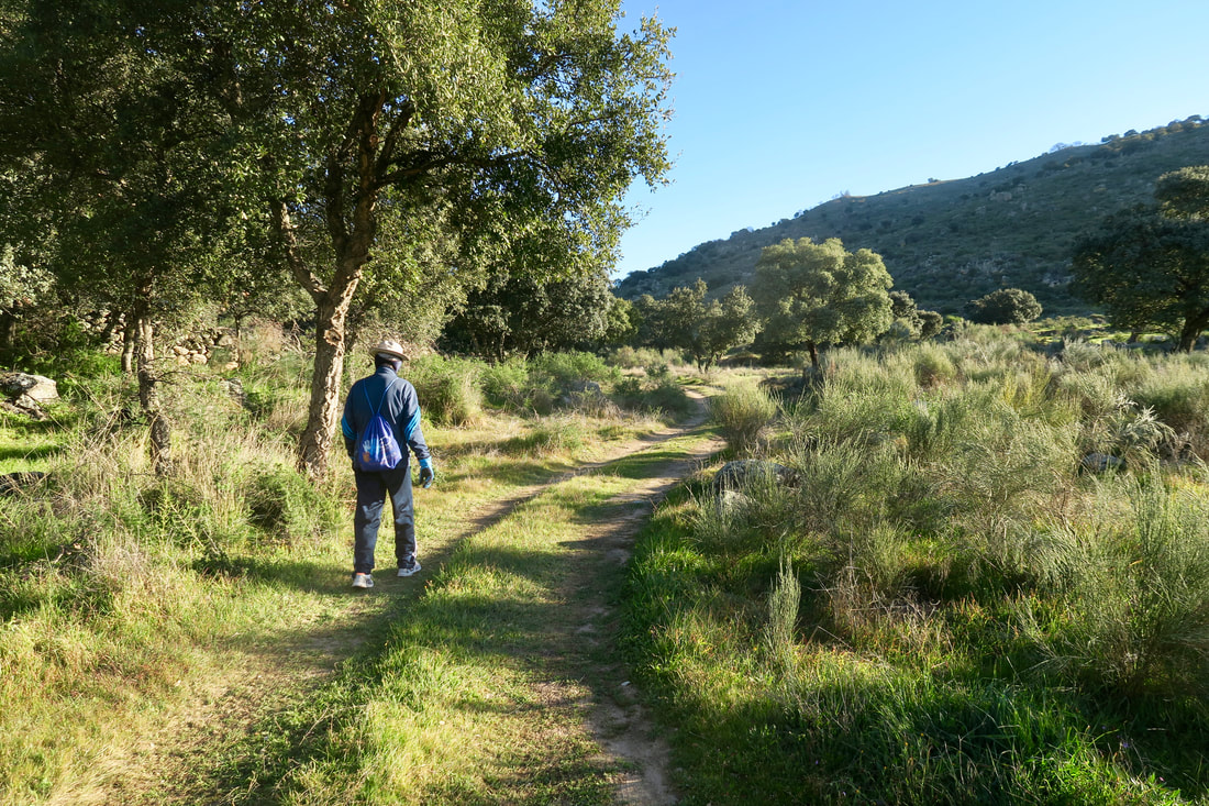
Walking the track through pasture before the climb starts
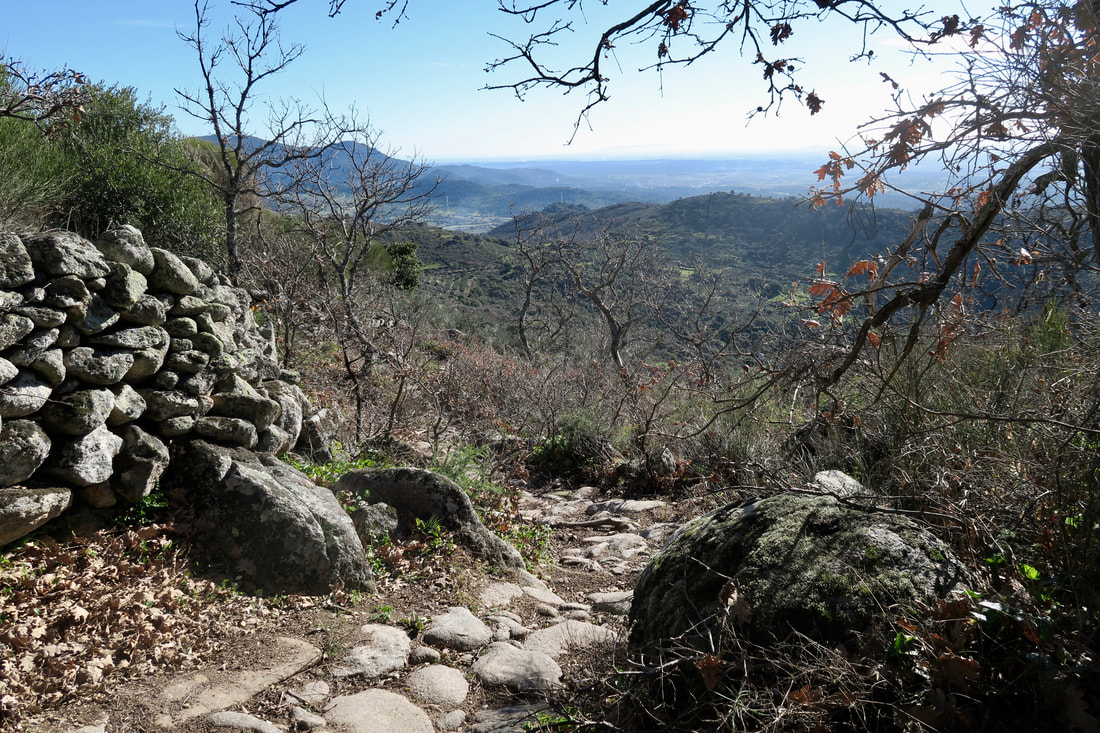
Looking down to the east from the granite-paved path
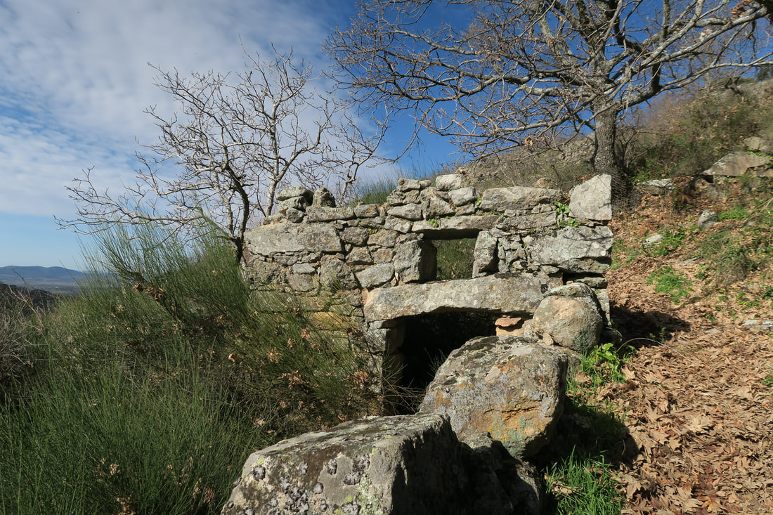
Abandoned granite-built animal shelters
Mill race and renovated mill near Arroyomolinos
|
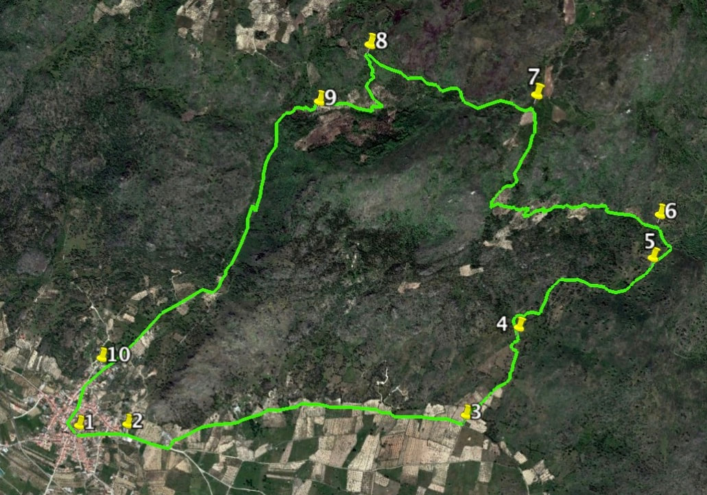
Arroyomolinos Ramble
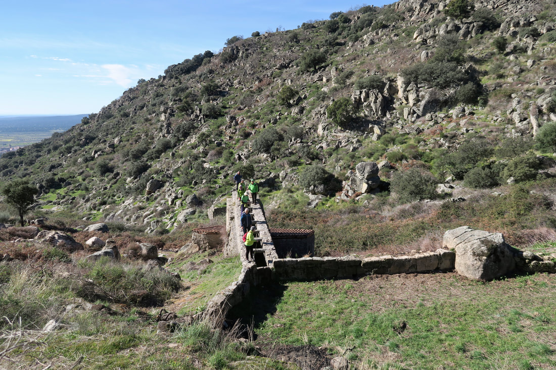
The Sierra de Montánchez is criss-crossed with hundreds of paths. This makes the combinations of routes almost endless. This walk is a mixture of two walks from the first book (now out-of-print) and one from the second — yet it somehow manages to give a different walking experience in the area. The actual Valley of the Mills is undergoing some long-needed work in clearing away the brambles that have hidden the stream for decades. Some of the mills are also under renovation and can be entered. Start: Arroyomolinos Finish: Arroyomolinos Time: 4 hours Distance: 11.50 kilometres Elevation: lowest 395m, highest 852m Difficulty: medium Route: circular — map by Google Directions Enter Arroyomolinos by the last village entrance going towards Almoharín Almoharín on the EX-382. Drive straight along that road to reach a small square and the Churrería-Bar Fragoso. Park in Calle Arroyo Lugar. 1. N39 11' 5.49" W06 9' 43.97" Walk straight down Calle Cervantes and pass the small Hermitage on the left. 2. N39 11' 5.83" W06 9' 31.13" Continue on the road which now becomes a dirt lane until a red-bricked outbuilding is reached on the left. Turn left, then right after the building. Walk along this lane until a definite cross-roads is reached — approx: 2km. Turn left. 3. N39 11' 8.15" W06 8' 1.76" Follow the track through pretty meadows dotted with trees, climbing slightly all the while. Go through two gates a distance apart closing each one carefully. Come to an open area with a vague cross roads where a stream, or stream bed, goes to the right. Take the path ahead with a dry stone wall to the right. 4. N39 11' 26.24" W06 7' 48.22" Follow the path as it narrows, becomes rougher and goes up more steeply. Look back for views of Arroyomolinos. Come to a clapper bridge that allowed animals to cross under the path in centuries gone past. 5. N39 11' 40.33" W06 7' 15.50" Continue on the path as it goes up. Reach a T-junction. Turn left. 6. N39 11' 48.73" W06 7' 14.19" After 150m the granite-paved path bends left. Follow the path as it winds up and up. There are no diversions so simply keep climbing while enjoying the views to the left. There is one right-angle bend to the right and the path gets steeper. Look out for wild flowers in the verges especially in Spring. Arrive at a T-junction on the Ruta de Donde Nace. Turn left. 7. N39 12' 9.89" W06 7' 47.58" Walk along the track to reach the granite-paved part of the walk with views over the Valley of the Mills. Turn sharp left on a small dirt path. 8. N39 12' 19.55" W06 8' 27.06" Continue, carefully, downwards and pass a ruin of animal shelters. Follow the path as it bends sharply right along a level straight track `(that goes to Montánchez). Turn left at renovated mill set back on the left to descend in zig-zags and cross the stream that feeds the mills. 9. N39 12' 9.97" W06 8' 39.68" Walk all the way down the Valley of the Mills passing 20 square-built Roman mills and two round Moorish ones. Reach the top of Calle Altozano. 10. N39 11' 19.45" W06 9' 37.67" Keep walking to reach the car and the Fragoso for refreshments. Photos: February |