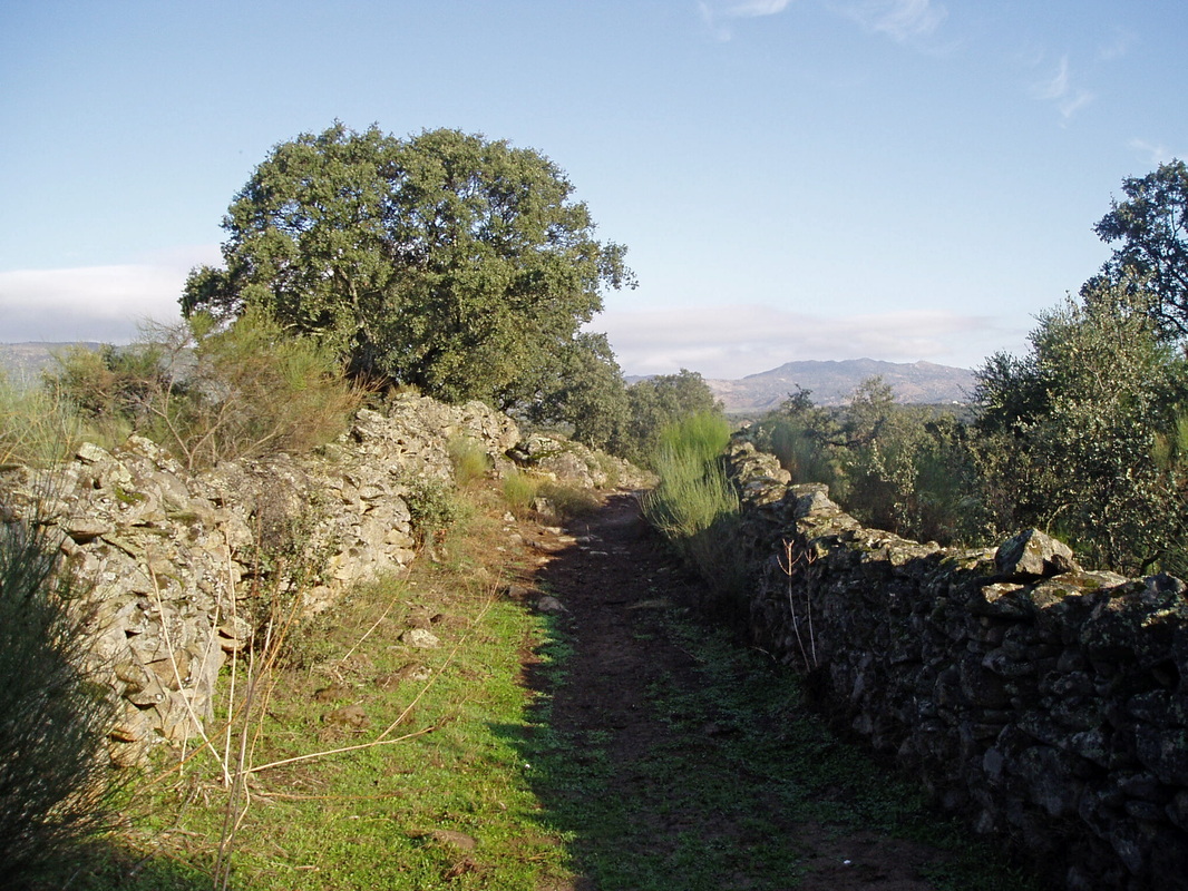
The stretch between GPS8 and GPS9, looking back
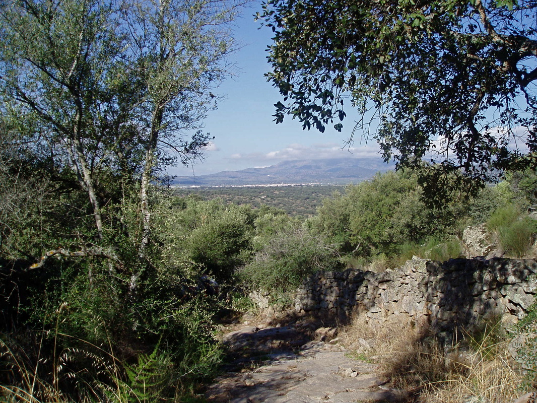
The view ahead of the Sierra de Montánchez
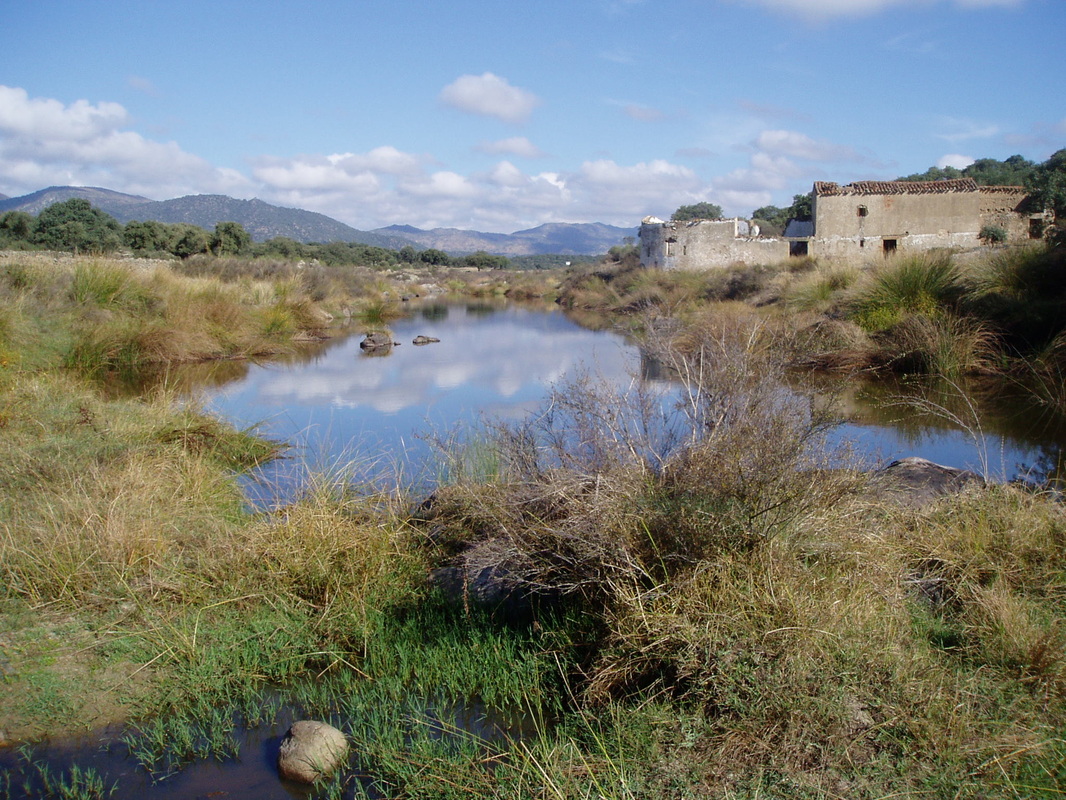
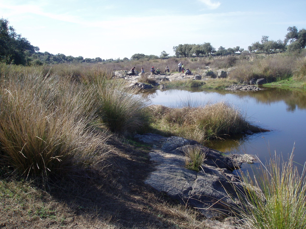
The River Burdalo with one of the ruined mills
The river is a good place for a picnic — and for swimming
|
A Walk by the River Burdalo
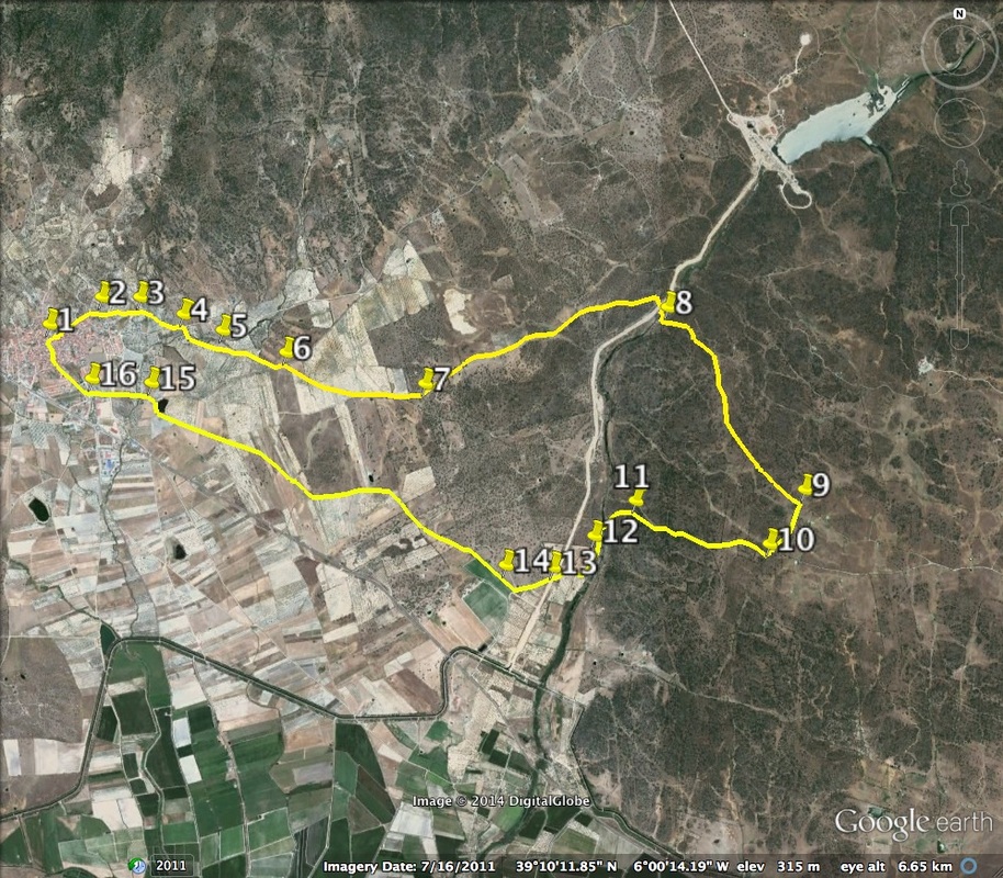
Information This route is a delightful ramble around the farming countryside of Almoharín. It crosses the River Burdalo twice. At each point there are the ruined mills.The mountains behind Almoharín are a constant companion. This walk can be made in either direction and at any time of the year but avoid high summer because some sections have no shade. Start: Almoharín Finish: Almoharín Time: 3.5 hours plus lunch Distance: 14 kilometres Elevation: lowest 266m, highest 373m Difficulty: low for everyone Route: circular — map by google Directions Start in the Plaza Mayor in Almoharín where there is car parking. 1. N 39º 10’ 35.3” W 06º 02’ 38.9” Walk through the village in a north-easterly direction down the Calle del Santo Domingo which quickly comes to the village outskirts. Take the lane ahead and walk straight down ignoring all junctions.. 2. N 39º 10’ 42.9” W 06º 02’ 21.4” Follow the lane past farms, fields, grazing animals, olive trees and fig plantations. The lane comes to a small road. Turn left on to it. 3. N 390 10’ 39.6” W 06º 01’ 59.2” At the next junction, turn right. 4. N 39º 10’ 39.4” W 06º 01’ 55.9” Walking with the Sierra de Montánchez on the left and the dehesa all around continue along the lane. (Dehesa is the word for pasture and meadow, hills and plains, dotted with trees, mainly oak.) Cross over a small track and walk straight on. 5. N 39º 10’ 33.1” W 06º 01’ 40.7” Walk along the track going uphill gently. A (second) small road crosses the track. Cross this and turn right to continue on the track. 6. N 39º 10’ 29.7” W 06º 01’ 24.8” At the next junction take the left path. 7. N 39º 10’ 22.2” W 06º 00’ 47.5” As the walk continues it enters an area with more trees and dense flowering bushes. The path turns right — follow it around. This comes out at a small bridge over the canal that takes overflow from the new reservoir on the Rio Burdalo (which is 30 minutes walk, left). Cross the bridge, cross the small access lane to the reservoir and drop down to a gate ahead. On the left is a ruined mill. It is possible to see several old mill stones lying abandoned in the mill. Ahead is the water of the river. 8. N 39º 10’ 42.8” W 05º 59’ 23.4” Cross the ford and turn slightly left to climb up a granite-paved track ahead. On looking behind there are good views of the Sierra de Montánchez (photo 1). Continue up. At the next junction, at the top of the climb, turn right. 9. N 39º 09’ 55.5” W 05º 58’ 39.3” Continue on the, now grassy, track, which meets a small road and turns right. This is the junction of Camino del Molino del Capitan Dehesilla and Camino de los Huertos. 10. N 39º 09’ 44.2” W 05º 58’ 48.4” Passing through an area of woods and farming walk along the track which starts to descend. The view ahead is terrific (photo 2). The track begins to descend quite sharply. It seems to be following an old water course because the track is strewn with hundreds of granite stones and boulders. It is slow picking the way along this track but it comes out at the second ruined mill on the walk (photo 3). This old mill was more substantial than the last one and the river is wider here. 11. N 39º 09’ 51.7” W 05º 59’ 41.0” Cross the bridge and walk with the river on the left. 12. N 39º 09’ 49.0” W 05º 59’ 41.9” When the sun is hot and the water of the river sparkles and looks inviting this spot is a favourite swimming area (photo 4). Leave the river by turning right. Cross the new reservoir access lane once more. 13. N 39º 09’ 37.6” W 05º 59’ 47,2” Walk through an area of farming, figs, olives and vines, following the path to the left. Continue past this productive area and turn right into the Camino de las Vinas Viejas. 14. N 39º 09’ 34.4” W 06º 00’ 10.2” The lane is broad and flat with the Sierra de Montánchez ahead. The open farming land and dehesa, so typical of Extremadura, is on the left. On the approach to Almoharín stop at the Charca. This pond is a favourite, seasonal, fishing place! On passing the Charca turn left along the road. 15. N 39º 10’ 18.0” W 06º 02’ 01.2” Walk back into the village for refreshments at one of the many bars. 16. N39º 10' 23.3" W06º 02' 19.0" Photos: November and December |